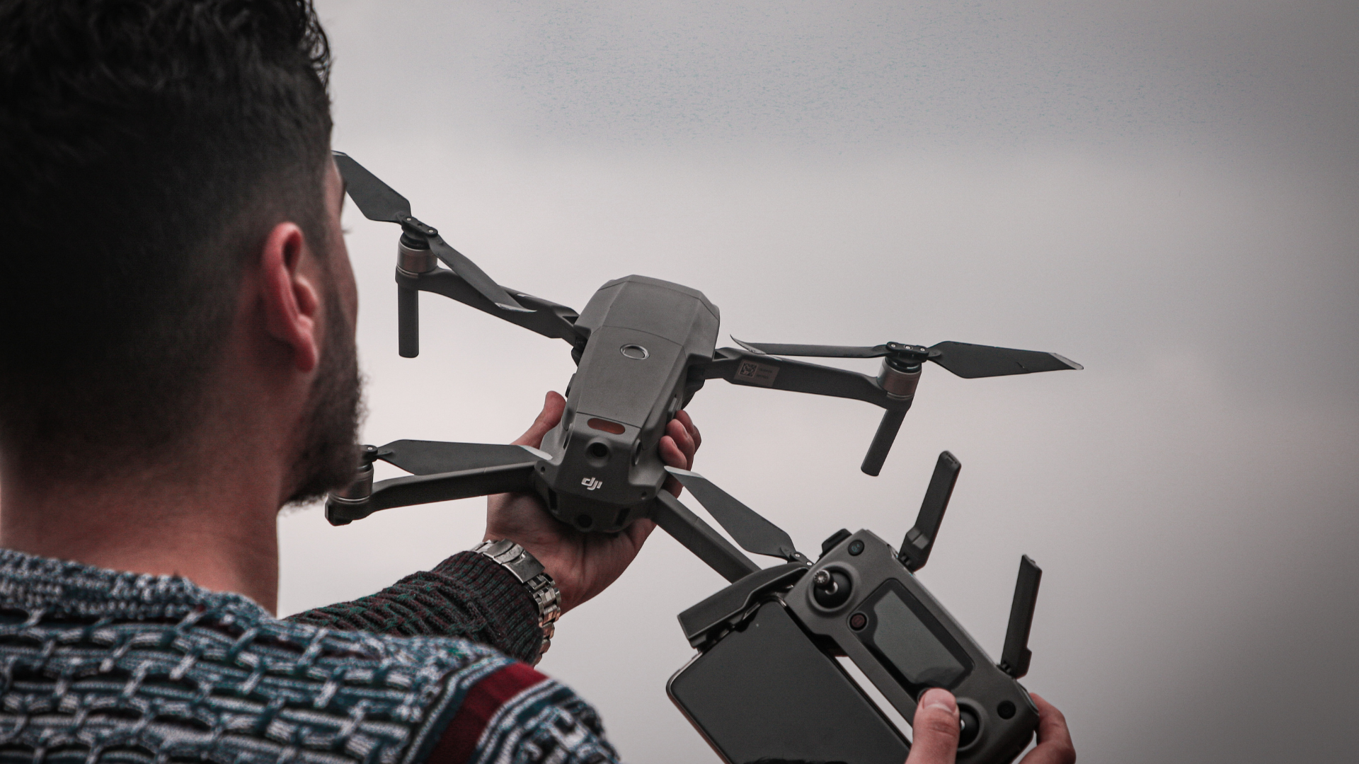
One of the most interesting developments related to drones is the geocaging system, which is presented as a versatile tool that can be used in different fields of work. Its main advantage is that it allows to define specific routes and limit the path of a drone in a precise way, so it has taken great relevance among the different uses of professional drones.
Continue reading this article where we will explain everything related to the geocaging system in UAS, and its main applications for the operation of a drone.
Índice de contenidos
ToggleWhat is Geocaging drones?
Geocaging is a system that allows drones to fly within a predefined geographical area and restrict their movement outside of it. This technology is based on the use of precise geographic coordinates, together with a combination of software and hardware to establish flight limits. It will therefore make it possible to delimit the space in which a drone can operate.
This is essential in different fields of application, and especially to prevent these aircraft from entering restricted airspace for drones, such as SPA areas. Also when we want to make a recording with drones in a specific place and we do not want the drone to leave that specific area.
How does the geocaging system work in drones?
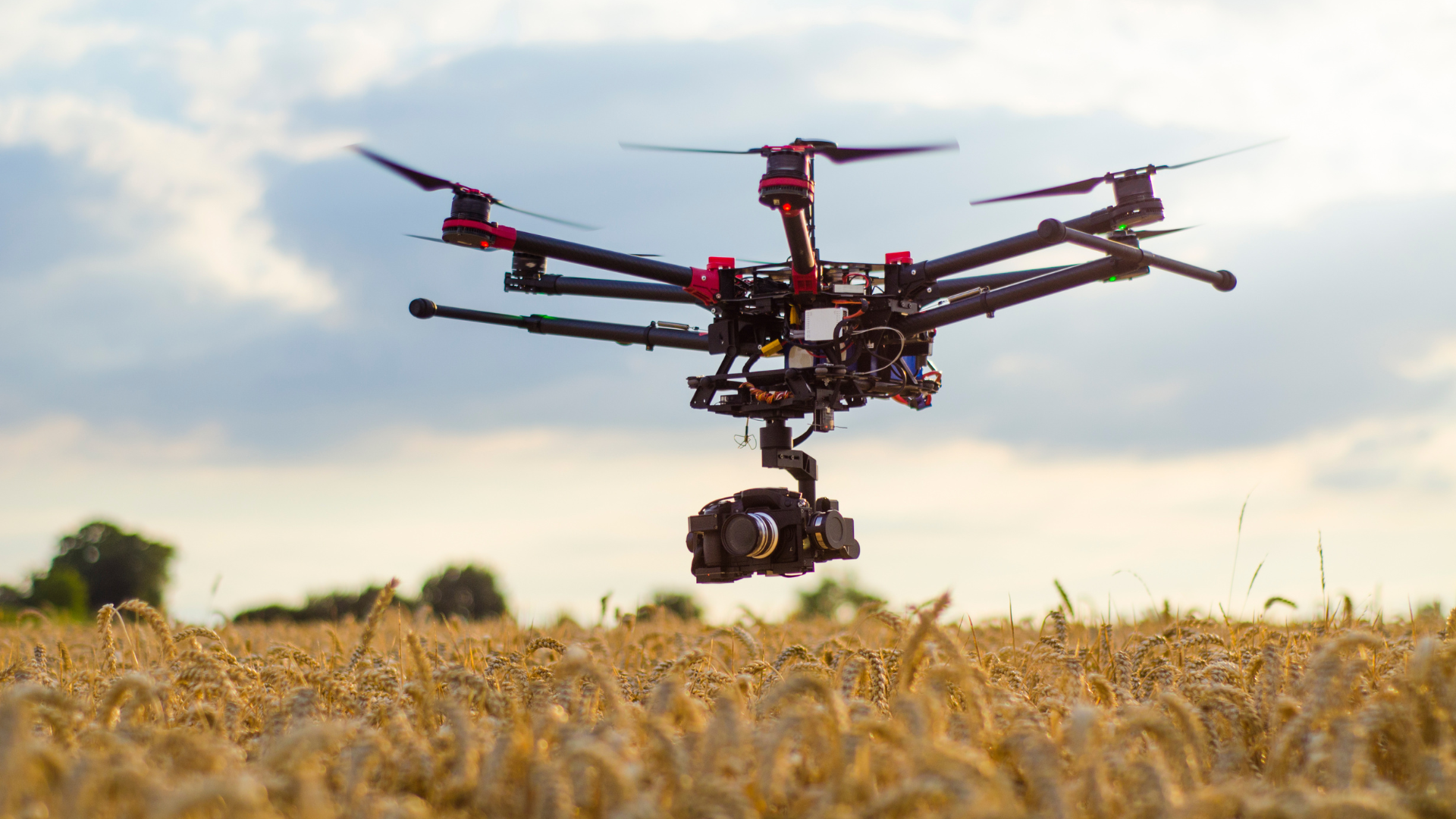
The functioning of the geo-caging system will depend on three main elements: the drone, the positioning system and the geocaging software.
- The drone: it must be equipped with a GPS receiver that allows it to know its exact location at all times. This is essential to ensure that the drone stays within the established limits.
- Positioning system: this is used to determine the precise location of the drone in real time. This information is used to compare it with the established coordinates of the permitted geographic area.
- Geocaging software: it is responsible for establishing and managing the geographical limits where a drone can fly. Thanks to the software, the operator can define a specific area using geographic coordinates or by drawing a custom shape on a map. In addition, it also notifies the operator if the drone approaches or crosses the established limits.
What are the advantages of geocaging in drones?
Drone geocaging offers a number of significant benefits, such as those listed below:
- Safety: By restricting the drone’s flight to a specific geographic area, the risk of the drone invading restricted or hazardous areas, such as airports, controlled airspace or private areas, is reduced.
- Regulatory compliance: Geocaging helps to comply with regulations and restrictions set by authorities.
- Privacy protection: By preventing drones from flying over private property without authorization, it therefore helps protect people’s privacy and prevent misuse of the technology.
- Precise flight control: Geocaging allows precise control over the area in which the drone can operate. This is especially useful in applications such as mapping, industrial inspections or precision agriculture, where it is necessary to cover specific areas. This is why drones in agriculture are becoming essential tools.
Where can’t a drone be used?
In Spain, the use of drones is regulated by the Spanish Aviation Safety Agency (AESA) and there are some restrictions on where a drone cannot be used.
- Controlled airspaces: Drones cannot be flown in airports, heliports or areas where there is controlled air traffic. The minimum distance is usually 8 kilometers.
- Urban areas and agglomerations of people: It is forbidden to fly over urban areas with a large population or where there are agglomerations of people, such as sporting events, concerts, demonstrations or other public gatherings.
- Military and security zones: A drone may not be used near military installations, military bases, restricted areas or any place where there are national security activities.
- National parks and nature reserves: In national parks and other protected areas, there are restrictions on the use of drones to avoid disturbing wildlife and the natural environment. Each park may have its own specific regulations.
- Private spaces without permission: You cannot fly a drone over private property without the owner’s permission. It is important to respect the privacy of people and their property.
On the other hand, you can fly a drone on the beach as long as you respect the privacy rules for people and the distances allowed by the drone regulations in Spain. Otherwise its use will be restricted.
Now that you know what geocaging is and its importance in drone flight, you can’t hesitate to start using this system in your controlled flights.
Do you want to work as a drone pilot?
If you want to specialize in the world of UAS and work as a professional drone pilot, we recommend you to take one of our drone courses. We invite you to take a look at our professional drone pilot course, through which you can get certified according to the current AESA drone regulations in Spain. Don’t wait any longer and request information now!