ENGINEERING
UMILES specializes in the planning and development of UAV operations in sectors such as energy, agriculture and infrastructure.
UMILES plans and develops operations with unmanned aerial vehicles in the following sectors. To carry out the operations, we embark on our equipment different types of sensors: RGB visual sensors, thermographic sensors or multispectral sensors. In addition to having a fleet of RPA&UAV composed of: RPAs Multirrotors of our own manufacture. SenseFly eBee Plus RTK UAV. DJ Matrice Series. Custom developments for special adaptations.
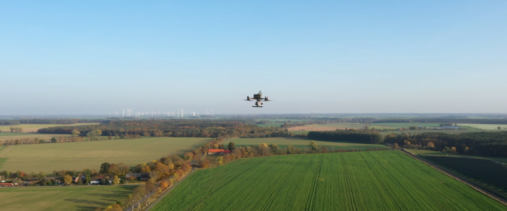
Our services
Energy

Infrastructures
Photogrammetry

Laser
Agriculture
High-precision technology for different needs with drones
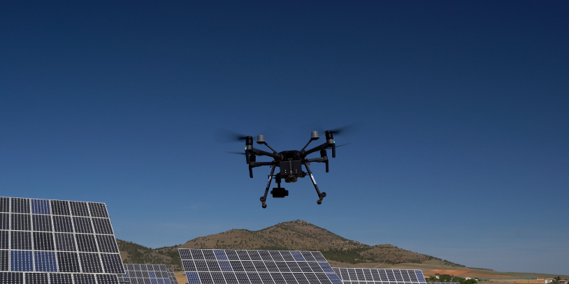
INFRASTRUCTURE INSPECTIONS USING RPAS
The use of RPAs affords access to hard-to-reach and high-risk locations. UMILES Group performs real-time checks and inspections on a range of infrastructure facilities, including pillars, beams, metal and reinforced concrete structures and building façades.

AGRICULTURE
RPAS technology in the agriculture sector for crop monitoring
is one of the biggest sectors in the Spanish market. To achieve our end goal of optimising resources and saving costs, we are supported by an extensive group of agricultural engineering professionals, topography engineers and RPA pilots, among others.
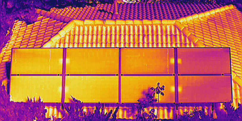
VISUAL AND THERMOGRAPHIC INSPECTION OF PHOTOVOLTAIC FACILITIES
Our technology allows you to optimise your thermographic inspections of photovoltaic facilities complete with the corresponding analysis. Our equipment allows us to perform exhaustive flight area planning processes, permit management, thermal and visual inspection of the PV plant, data processing and preparation of the technical report.
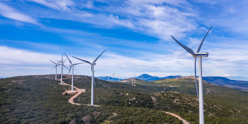
WIND FARMS
Wind farms are exposed to extreme weather changes, which can cause significant structural deterioration. Visual and thermographic inspection of wind turbines helps perform exhaustive studies of their status. Throughout the end-to-end process, we manage permits, data processing and the preparation of the technical reports and results.
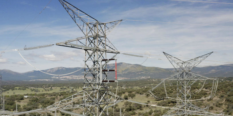
POWER LINES WITH DRONES
Having an effective view of power grids which complies with regulatory requirements is absolutely essential to offer a comprehensive view of any anomalies that may exist. The methodology of this task is based on an exhaustive inspection with RPAs, using RGB and thermographic sensors.
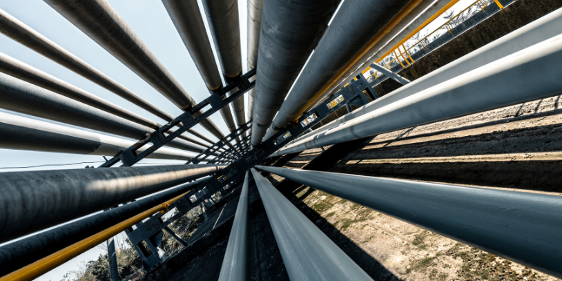
GAS PIPELINES AND THERMOGRAPHIC INSPECTION FOR LEAK DETECTION
Drones play a crucial role in identifying problems, including providing aerial images to allow for the identification and assessment of leaks.
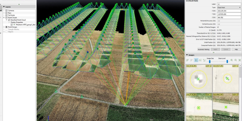
AERIAL PHOTOGRAMMETRY
RPAs and other aerial systems such as planes and satellites have provided a series of advantages in comparison with traditional methods, revolutionising the use of photogrammetry. We have a group of highly qualified technicians and experts with over 15 years’ experience in the sector.
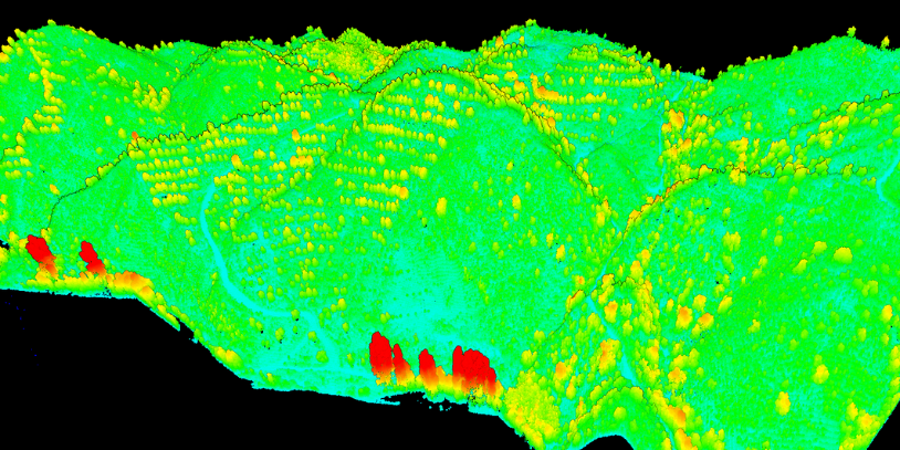
LASER SCANNING TECHNOLOGY
We offer solutions for 3D and 2D topographic documentation. We perform 360º scans obtaining millions of spatial points per second, which generates a point cloud of the area or object under study. This is used to create a 3D model which can subsequently be used to take measurements and create maps and sections, for example.
We plan and develop your operations with unmanned aerial systems
PHONE
Press to call
Contact us
Press to call