Drones have become an essential tool for forestry agents due to their great versatility and their ability to adapt to any type of terrain. In this post, we are going to see everything that a drone can offer in the forestry sector, not only at the level of recognition and mapping of the terrain, but also in everything related to the prevention and extinction of fires.
Use of drones in forestry
The job of foresters and forestry engineers is to monitor the state of forests and manage their assets in a sustainable manner. To get an idea of the work they do, to monitor 1,000 ha of forest with traditional methods requires the work of 20 people and more than a month to carry out the mapping of the area.
However, a drone can do this work in much less time, since it provides 3D images of the site and allows a better identification of crops, detecting areas where vegetation grows better and with the storage and subsequent analysis of these data, better planning and periodic comparisons can be made. Undoubtedly, all these actions allow a significant cost reduction for the administrations. Let’s see some of the tasks that a forest drone can perform today:
– Investigate the health of forests.
– To elaborate inventories to classify and value the flora and fauna of the area.
– Improve forest planning and management.
– Provide rapid response on actions with environmental impact, such as illegal logging or storms, for example.
– Provide land use mapping.
– Assist reforestation.
– Assist in the development of biodiversity in different production areas.
– Provide ecological, biological and landscape characteristics of the site.
– Prevent possible flood risks.
– Detect diseases and pests of the flora.
– Collaborate in minimizing negative environmental impact.
– Analyze tree canopies.
Drones in firefighting
Preventive and firefighting tasks are the main functions carried out by forestry agents and drones are a great help to carry them out in the best possible way. UAS offer 3D and infrared aerial images that provide very important information when a fire has broken out. In this way, better decisions can be made.
In addition, drones are also capable of analyzing, quantifying and assessing fire risks in a given area depending on its vegetation, so that prevention and preservation measures can be taken.
By means of photogrammetry, 3D models and maps of each area can be created with information of great value for experts, since any small change in the vegetation of the place can cause a balance in the ecosystem that can lead to a fire.
Another important aspect of the work carried out by drones is that they can monitor forest fires at night because they transmit infrared images and videos in real time. In this way, firefighting specialists have up-to-date information to plan and make tactical decisions quickly.
On the other hand, drones are also very effective after a fire, as the images they provide help in the regeneration of native vegetation and the conservation of biodiversity in the medium to long term.
What equipment do forestry drones carry?
The drones used for this type of work carry RGB sensors, multispectral, infrared and thermal cameras. In this way, they provide images that allow a more precise investigation of the vegetation in the area, in which possible diseases of the flora, areas where growth is slower, etc. can be detected. They can also measure temperatures, store and compare parameters recorded in another period of time. In the case of fixed-wing drones, they can carry out very wide routes and detect possible fire outbreaks in time to prevent them from spreading rapidly.
In 2019, the Spanish government invested 83 million euros in fire prevention and extinction and among the troops used were 73 aircraft to load and unload water in the fire areas along with four drones that helped the technicians with their images.
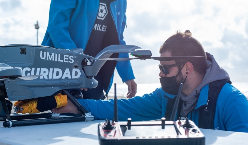
Any person who performs forestry work can be trained as a drone pilot, whether a forest management consultant, engineer or forestry agent. It can also happen that the companies in charge of these works hire a professional drone pilot specialized in forestry.
In any case, you should know that if you want to fly a drone you must join a drone pilot school that issues the certificates required by AESA, as is the case of UMILES. Once you have obtained the professional pilot certificate, you can specialize as a drone pilot in emergencies and security, which are those who work with the brigades of investigation and extinguishing of forest fires. Contact us for any questions or doubts.