Geofencing is very important in terms of the safety and drone flight control, as it allows all operators to identify the areas in which they can fly a drone without breaching current EASA regulations, and thus prevent them from incurring fines unnecessarily. That is why we explain in detail below everything related to geo-fencing in drones.
What is Geofencing in drones?
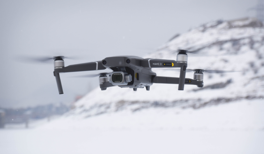
Drone geofencing is a system that uses GPS technology to establish virtual geographical boundaries, known as geofences, within which drones can operate.
These are defined as permitted or restricted areas for drone flight, the main purpose of which is to ensure safety, privacy and compliance with air traffic regulations in Europe when flying drones. If you want specific information on restrictions for flying drones, here are some articles from our blog:
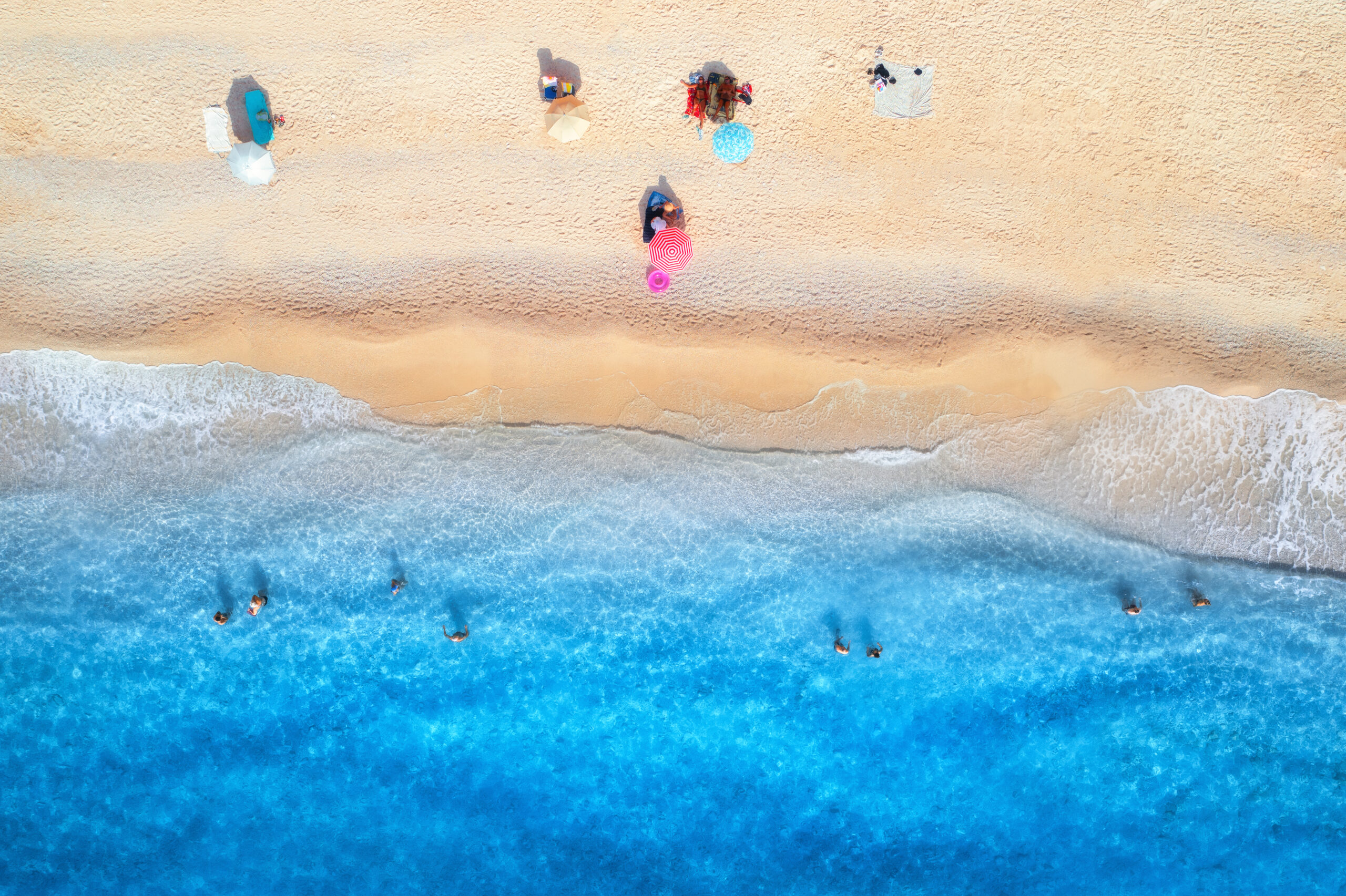
- Can you fly a drone on the beach?
- Can a drone be carried on a plane? Regulation in 2023
- Drone Pilot License: Requirements, Regulations and Types
- Can you fly a drone on the beach?
What is Airtag geofencing on drones?
The term “AirTag” refers to a tracking and tracing device to help users find lost objects, such as keys, wallets or backpacks. In the case of drones, such tags can be used to detect the drone’s location in real time.
How does Geofencing in drones work?
Geofencing in drones is based on GPS technology to determine the precise location of the drone in real time, which works as follows:
- Boundary definition: The drone operator or manufacturer sets virtual geographic boundaries in a specialised software or application, so that the drone can identify permitted areas (safe and legal) or restricted areas (prohibited areas or areas subject to specific restrictions).
- Receiving the drone’s location: The drone uses its GPS receiver to determine its precise geographic location.
- Comparison of location with boundaries: The software or application continuously compares the drone’s current location with the defined geographical boundaries.
- Predefined drone responses: When the drone crosses the geofence boundaries, it can be instructed to stop, change direction, land or take other actions according to the set configuration.
Components of a geofence:
A geofence consists of the following components:
- Geographic reference points: These are the points that define the boundaries of the geofence, which can be specific GPS coordinates or predefined areas in the software.
- Software or application: This is used to set and configure the geographic boundaries, as well as to manage the drone’s responses when geofencing is activated.
Types of geofences:
There are different types of geofences that can be set up for drones:
- Circular (static) geofences: These are shaped like a circle and are defined around a central point. They are useful for establishing exclusion areas or areas of safe operation around a specific location.
- Polygonal (dynamic) Geofences: These are polygon-shaped and are defined by a series of reference points. They are useful for delimiting more complex areas, such as airports, parks or public events.
What are the advantages of geofences on drones?
The use of geofences on drones offers several advantages, as they facilitate the use of drones by operators, including the following:
- Safety: Geofences help prevent drones from entering dangerous areas or restrict access to sensitive areas, such as airports or restricted airspaces (SPAs, SACs and SCIs).
- Regulatory compliance: These facilitate compliance with regulations and restrictions set by civil aviation authorities. Therefore, this helps drone operators to fly within legal limits and avoid unintentional infringements.
- Privacy protection: They can be used to protect people’s privacy by preventing drones from flying over residential areas or private property without consent.
- Accident prevention: By establishing exclusion areas around obstacles or structures, geofences help prevent collisions and reduce the risk of accidents during flight.
What kind of frequencies do drones use?
Drones use a variety of frequencies for different functions and communications during their operation. These include the following:
- Remote control frequency: These allow you to transmit flight instructions, set the direction, altitude and flight mode of the drone. Radio frequencies are usually used for communication between the remote control and the drone (2.4 GHz and 5.8 GHz).
- Video transmission frequency: Many drones are equipped with cameras and transmit real-time video to the remote control or other receiving devices. For this, different frequencies are used depending on the model and device.
- GPS navigation frequency: For positioning and navigation, drones use the GPS signal frequency, which is based on 1.2 GHz and 1.6 GHz satellite signals.
In relation to geofencing, drones use the frequency of communication with the GPS navigation system. The drones receive signals from the satellites that allow them to determine their precise location, and thus avoid overstepping previously established lines.
Now that you know how a drone’s GPS works, and its respective limitations through geofencing, it’s time for you to get certified as an expert operator through our professional drone pilot course, where we will give you everything you need to start working in this highly competitive field of work.