The geopositioning system in drones plays an important role, as it allows the drone to perform its functions more accurately and safely. That is why in this article we will discuss everything related to drones with GPS, and its importance for the execution of a wide variety of actions.
What is GPS?
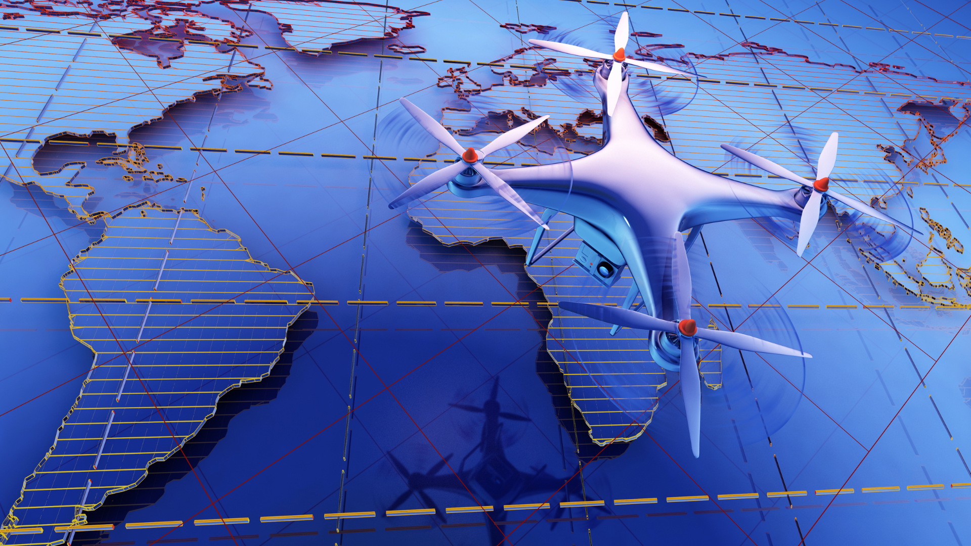
GPS (Global Positioning System) is a satellite system that allows you to determine the precise geographical location of an object anywhere in the world.
Basically, it works thanks to a network of satellites orbiting the Earth that transmits signals to receiving devices, which use these signals to triangulate their exact position.
What does GPS do in a drone?
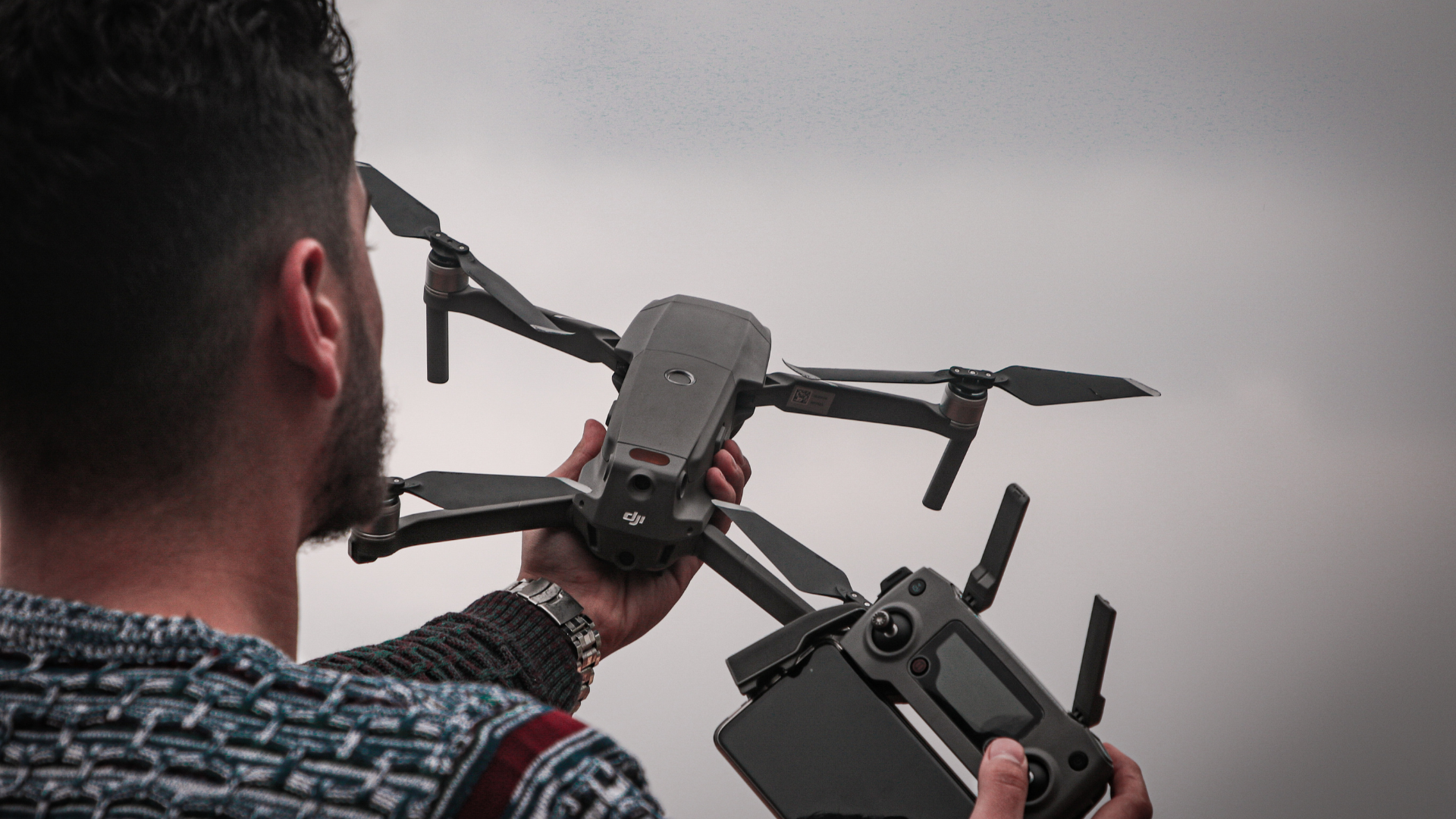
GPS in a drone allows its precise location to be known at all times. It acts as a navigation and positioning system, providing crucial information to the pilot or flight control software.
With the help of GPS, a drone can fly with complete autonomy, follow predefined routes with precision and maintain a stable position, as it will be able to determine its surroundings in real time.
What is GPS used for in a drone?
GPS in drones has several applications and benefits for navigation. Among the most relevant we can mention:
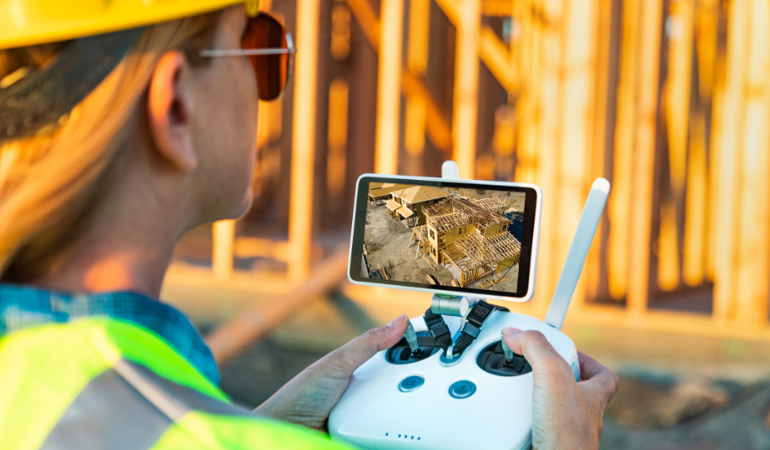
- Accurate navigation: GPS enables a drone to move precisely and maintain a stable position. This is essential for high-quality aerial drone video or photography, as well as for precise mapping of areas, as in the case of drone photogrammetry.
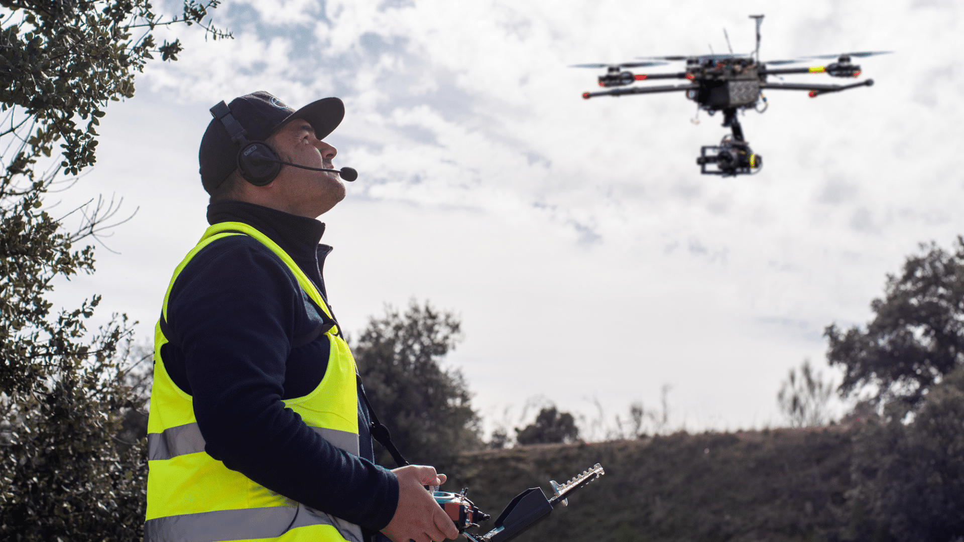
- Autonomous flight: The GPS signal in drones allows them to follow programmed routes autonomously. This is especially useful in inspection, crop monitoring, search or rescue tasks, as it can follow a specific pattern. This function is essential for irrigation and spraying drones in agriculture.
- Safe return home: If a drone loses connection with the remote control or its battery is low, GPS allows the drone to automatically return to its take-off point.
- Limitations: GPS allows virtual geographic boundaries, known as geofencing, to be set that restrict the drone’s flight area. This is useful to ensure that the drone does not stray too far or enter restricted areas, such as SPAs, SACs and SCIs zones.
Main uses of GPS drones
GPS-equipped drones have a wide range of uses, including:
- Aerial photography and videography: GPS allows drones to remain stable in the air, resulting in smooth, high-quality aerial shots. This is valuable for cinematography drones, event photography and landscape capture.
- Inspection and monitoring: Drones can perform inspections of infrastructure, such as power lines and pipelines, more safely and efficiently. GPS helps track the location of problems and ensure accurate analysis.
- Precision farming: GPS-enabled drones can collect crop and soil data, enabling more efficient farm management. This includes precise fertiliser application, controlled irrigation and early detection of crop problems, using drones for agriculture.
- Search and rescue: GPS-equipped drones can search large areas and transmit images in real time. This speeds up search and rescue operations, increasing the chances of finding lost people.
What kind of signal do drones use?
Drones use the GPS signal, which is a radio frequency signal transmitted by satellites. This signal contains location and time information. Drones can also use other positioning systems, such as GLONASS, Galileo or BeiDou, for greater accuracy and better coverage in different regions of the world.
Where is the GPS on a drone?
The GPS in a drone is usually located in the GPS receiver unit, which is one of the parts of the drone that is responsible for the navigation system.
In some cases, the GPS receiver may be built into the structure itself, while in others it may be connected via a GPS antenna on drones. The aim is to ensure that the GPS receiver has a clear view of the sky to receive the signals from the satellites without obstructions.
Don’t forget that you can contact us to join the best professional drone pilot course, and obtain all the certifications required by the AESA so that you can perform professionally.