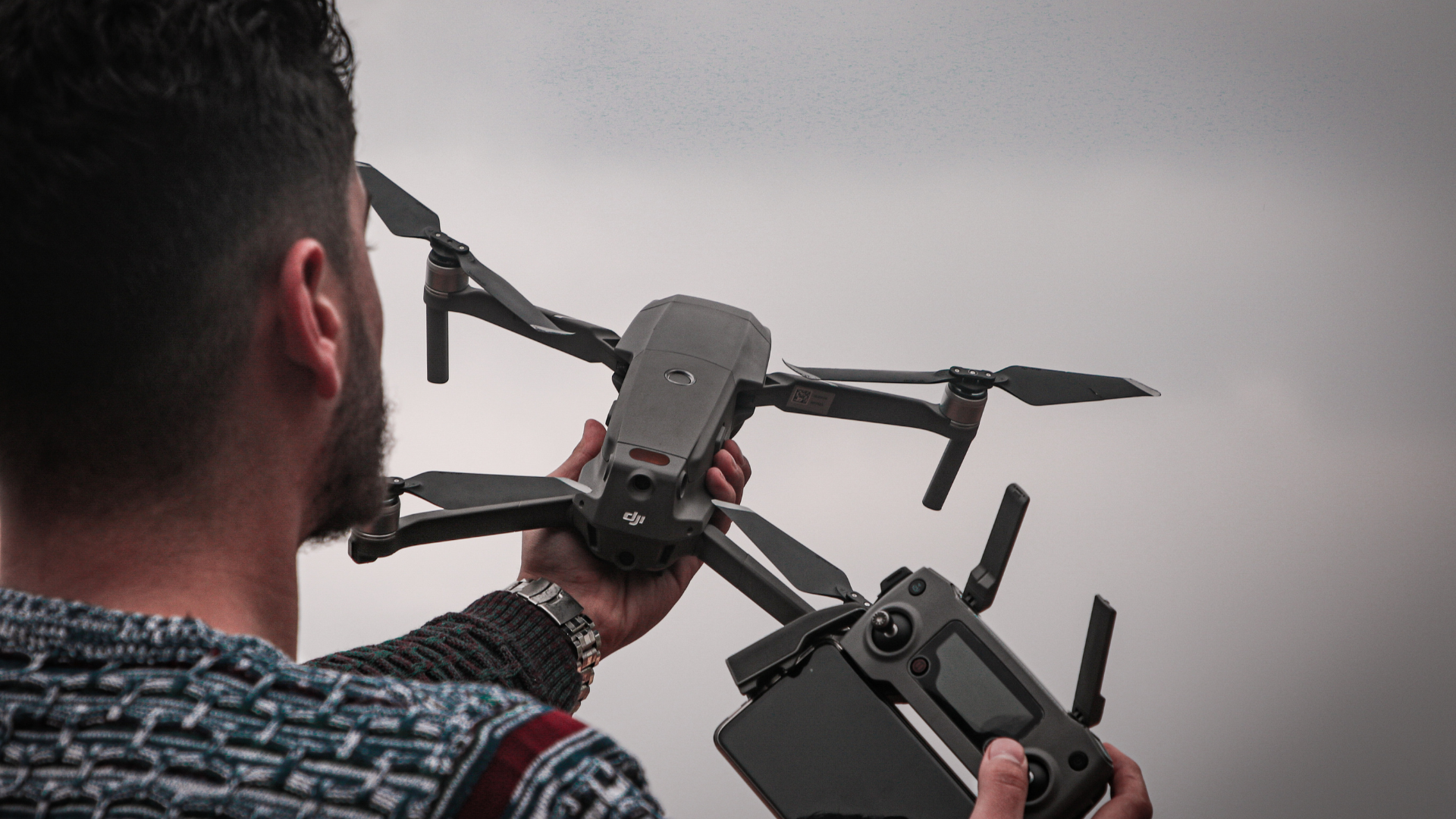
As we have explained on other occasions, there are many uses for professional drones, and this trend of optimising processes using UAVs is rapidly spreading to different industries. Sustainable energy is one of them, so on this occasion we are going to explain the importance that has been gained by the drone review of solar farms, as a transformative practice to redefine efficiency in the management of solar farms.
Innovation in solar farm maintenance with drones
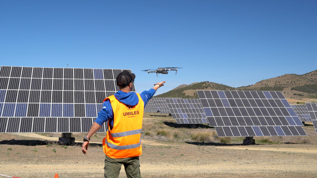
As is the case with drones in agriculture, these unmanned aircraft can be used to analyse solar farms in search of problems or faults. This process has been optimised through the use of different technological and computer resources, which have enabled exponential growth in the development of the energy industry.
The advance of drone data collection
Through the use of thermal cameras and geofencing, solar farms can be checked with drones to map large areas in a short time and detect if there is a fault in one or several panels. This avoids technicians having to make individual, face-to-face checks, speeding up decision-making to apply an immediate solution.
Raptor Maps data interpretation and solutions
With the efficiency in the collection of data from solar farms by drones, the need arises to use software tools that help to quickly process all the data recorded by the drones. In this sense, Raptor Maps has emerged, an advanced software that is positioned as a pioneer in the revolution of the solar industry.
Raptor Maps’ revolution in the solar industry with drone technology
Raptor Maps has deployed drones equipped with thermal cameras and machine learning software to optimise data collection and analysis. This advanced technology enables detailed inspection at individual cell levels, overcoming the limitations of conventional techniques.
Thanks to its ability to process data efficiently, Raptor Maps has established itself as a global leader in the solar energy sector.
Challenges and opportunities in the solar industry
As the solar industry continues its ascent, significant challenges arise in the maintenance of solar farms. Raptor Maps has been a pioneer in identifying and turning these challenges into opportunities to improve efficiency and reduce costs. Detailed analysis of thermal images can diagnose electrical or mechanical problems, providing a clear view of the areas that require priority attention.
The trajectory and evolution of Raptor Maps
Raptor Maps’ trajectory is a story of adaptation and strategic growth. It was founded in 2015 by Eddie Obropta, Forrest Meyen and Nikhil Vadhavkar, initially as a drone company offering services to the agricultural industry, to analyse crops and gather information as they grew. Gradually, however, they realised that their software had other applications.
When they released the software to the public in 2017, they found that most people were using it to analyse solar farms, which quickly made the founders realise that they needed to focus their efforts on the sustainable energy sector.
In 2018, they decided that Raptor Maps would focus exclusively on solar energy and is now a leader in drone solar farm reviews, demonstrating a unique ability to anticipate and respond to changing market demands.
Adaptation and success in the solar market
Raptor Maps’ ability to adapt to changing market needs has been essential to its success. By processing data on a global scale, the company has played a crucial role in making solar energy more efficient and attractive to investors, operators and solar farm owners.
Today, many drone operators partner with Raptor Maps, and after collecting their data, they send the information to the system, which creates a detailed map of the solar farm, noting how many panels have a problem, detailing how energy production is affected and even making a fairly accurate estimate of how much it might cost to make the necessary repair.
Thus, through its continuous innovation, Raptor Maps has demonstrated that the alliance between renewable energy and advanced technology is the key to a sustainable and efficient future in the solar industry.
If you want to become a drone pilot and work in the solar industry, don’t forget that at UMILES University we have the best drone courses in Madrid.